Meet Will Greene
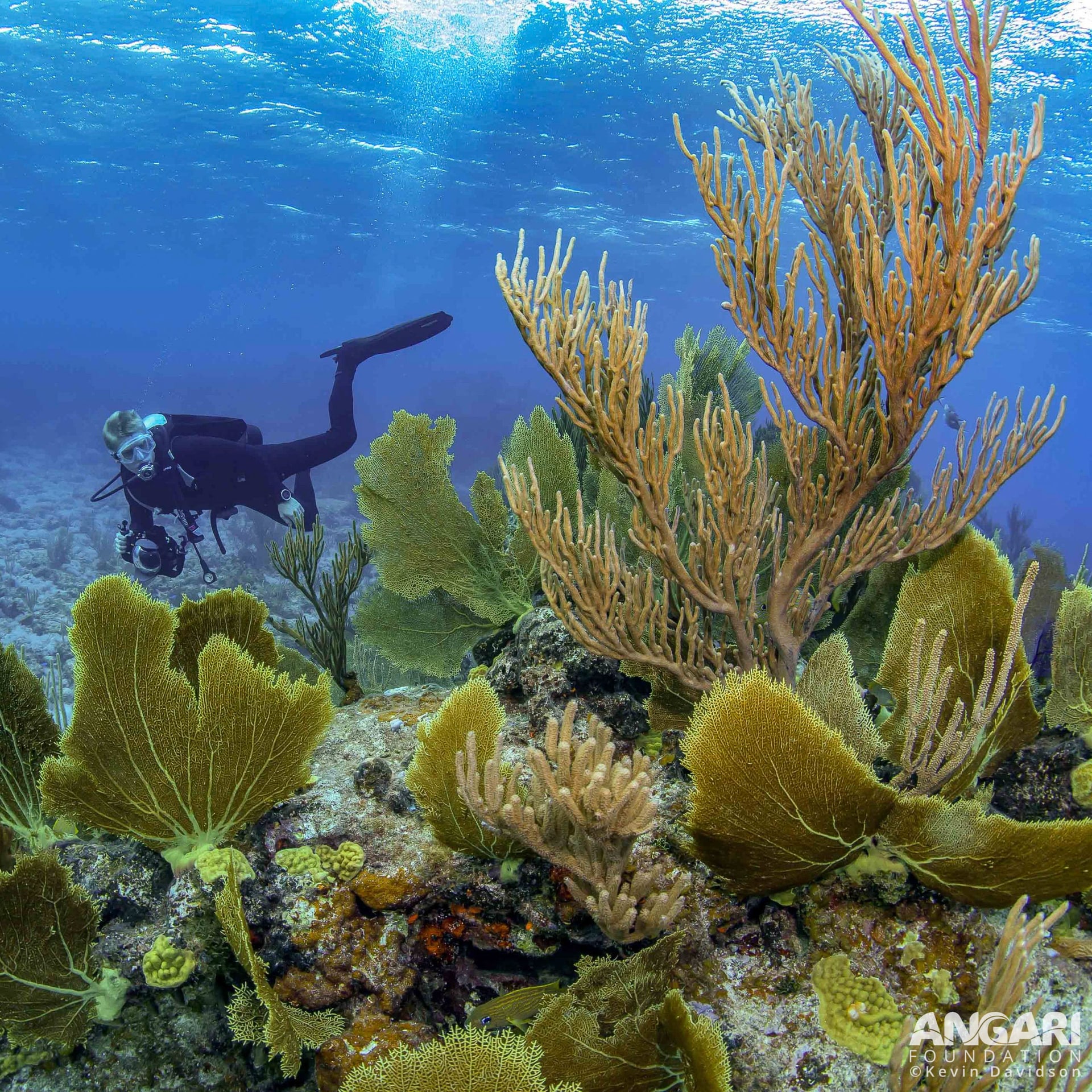
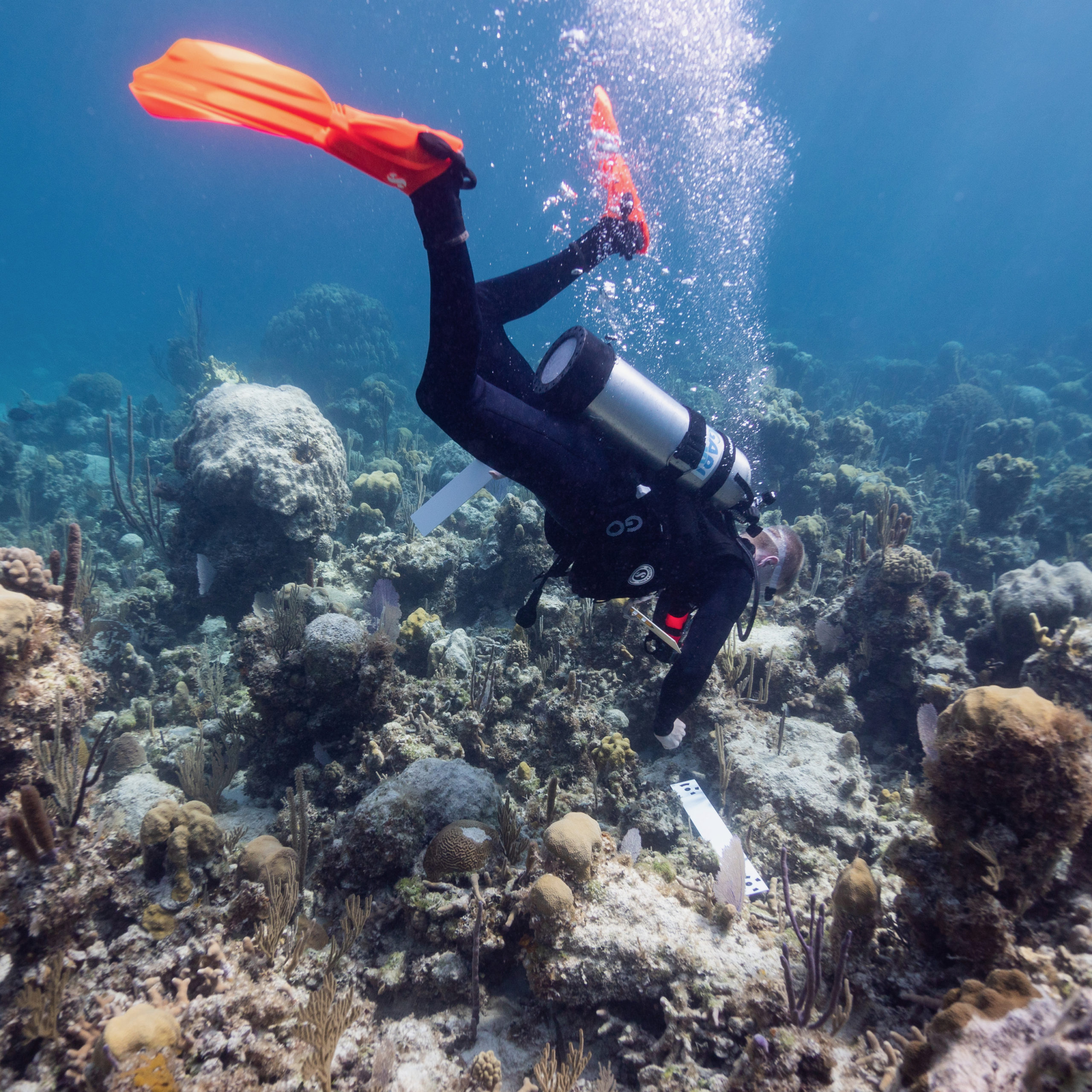
I am the Photogrammetry and GIS Specialist at the Perry Institute for Marine Science (PIMS), working in geographic information systems (GIS), remote sensing and coral reef modeling/mapping. My goal is to use technology to advance science and inspire the public to care about the environment and conservation. While underwater, I spend most of my time behind a camera taking thousands of photos that are stitched together into ultra-high-resolution maps of reef sites. At PIMS, I have applied my GIS and photography skills to assist in the development of a photogrammetry program to document reef conditions and supplement the institute’s field research. I am excited to bring my passion for conservation, marine biology, photography and GIS together to help protect Bahamian reef ecosystems. My aim is to help move the institute’s data collection process forward by transforming it into a unified geospatial workflow, creating new opportunities to analyze and share data with the public and partners.
2019 B.A. Conservation Biology, Middlebury College
Get To Know Will
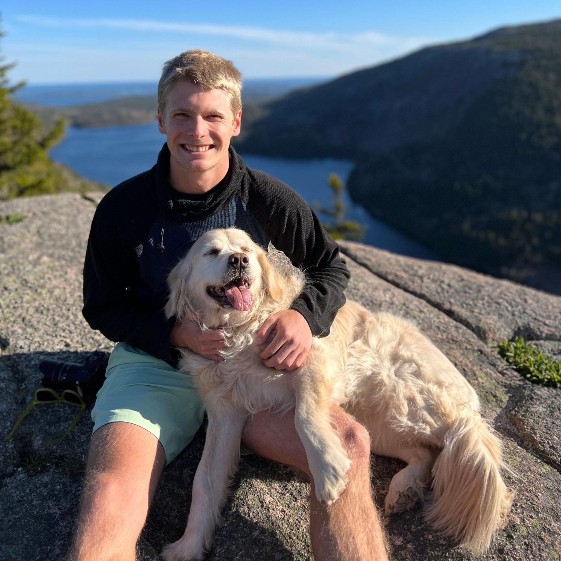
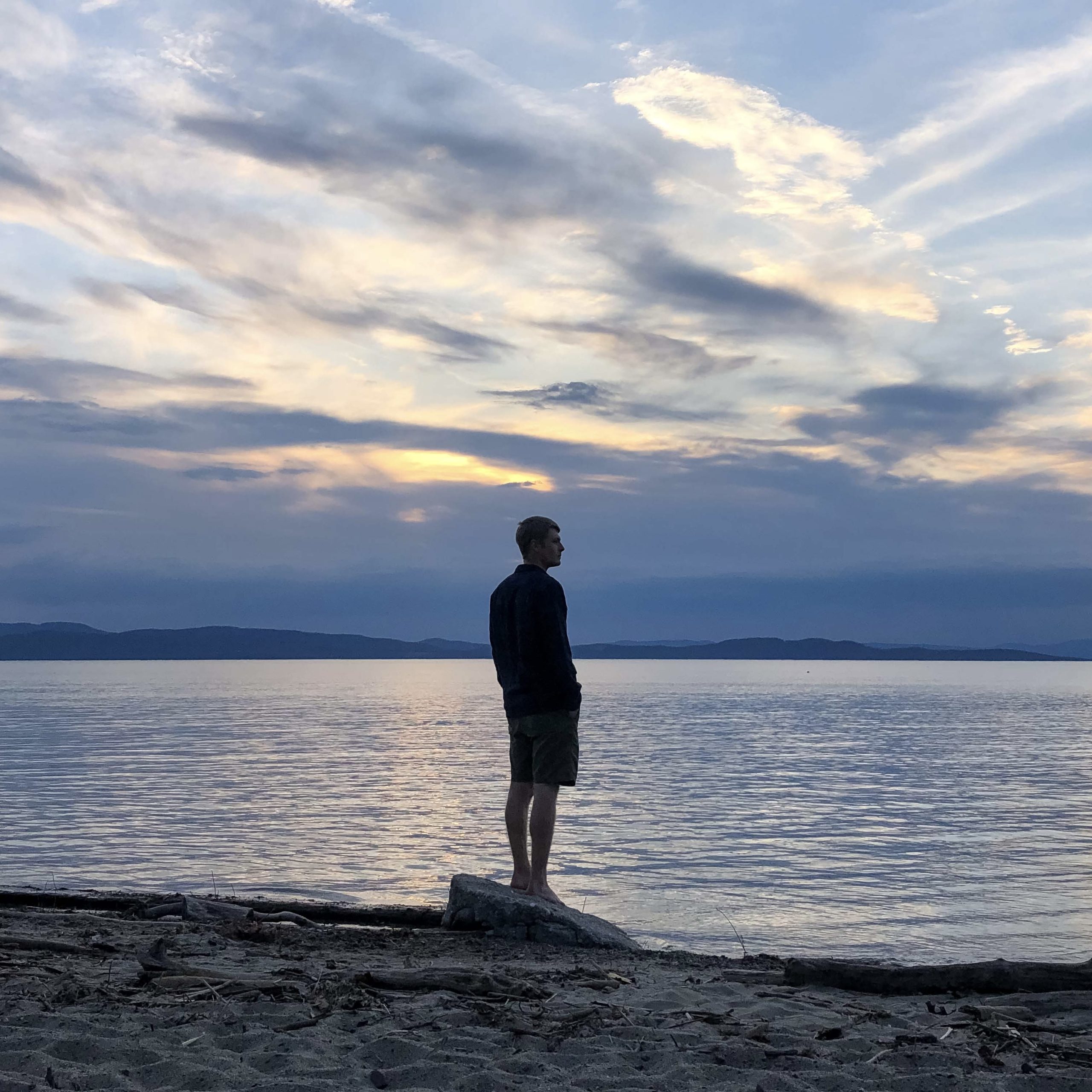
I grew up on Mount Desert Island, on the coast of Maine, with Acadia National Park basically in my backyard. I spent most of my free time as a kid exploring the park while hiking, biking, skiing, and canoeing. The connection to the natural world that I developed growing up there has really shaped who I am and is a big part of why I chose science and conservation as my career.
The most rewarding part of working for the Perry Institute is knowing that the work I do is directly aimed at understanding and conserving ecosystems that are incredibly threatened. Mangroves and coral reefs globally are among the most important ecosystems, providing amazing biodiversity, habitat, food, coastal protection, tourism value, and carbon sequestration. Unfortunately, they’re both directly threatened by climate change, sea level rise, increasingly violent hurricanes, pollution, habitat destruction, and other issues. Working on conserving these systems makes me feel like I’m contributing to saving something that really matters for the health of the planet.
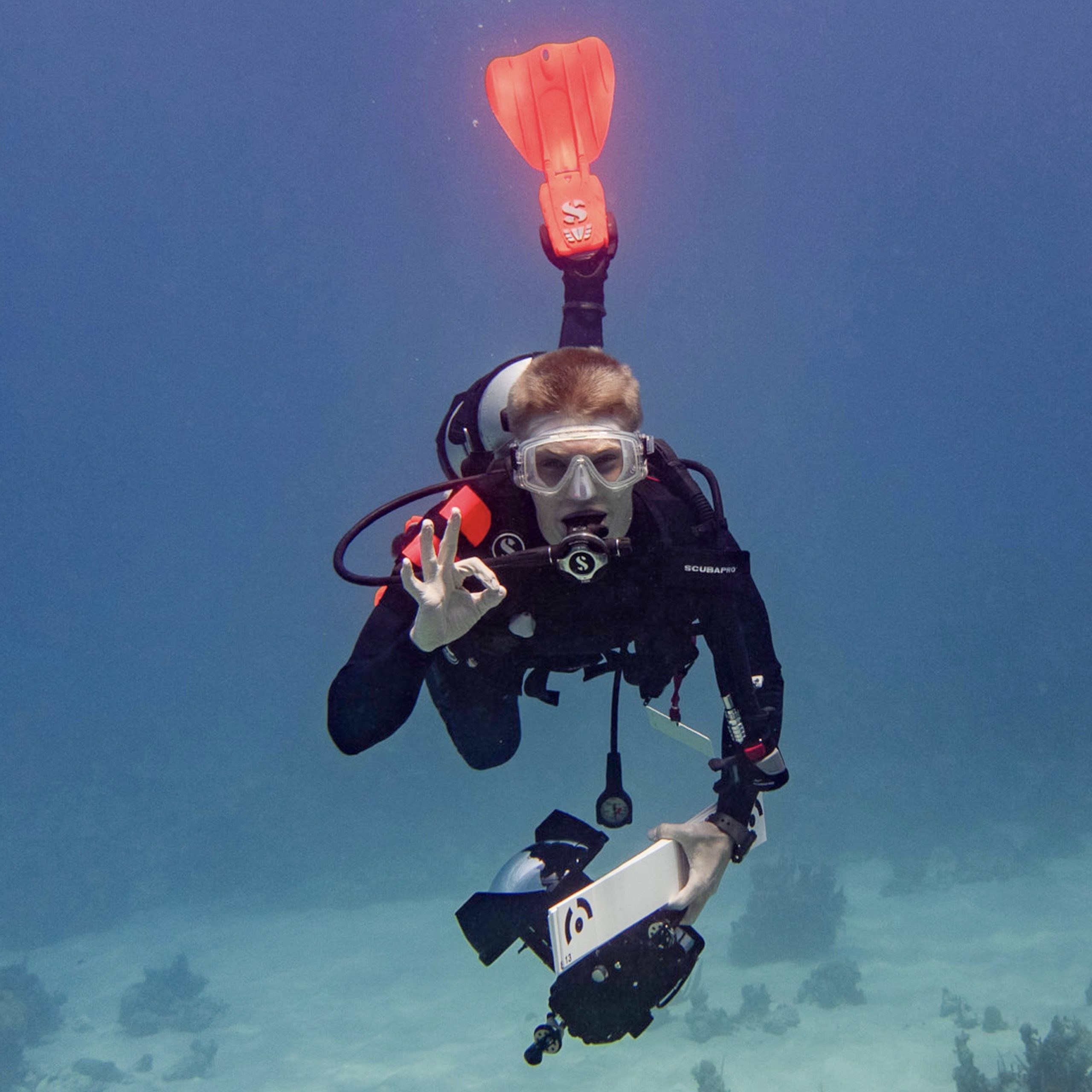
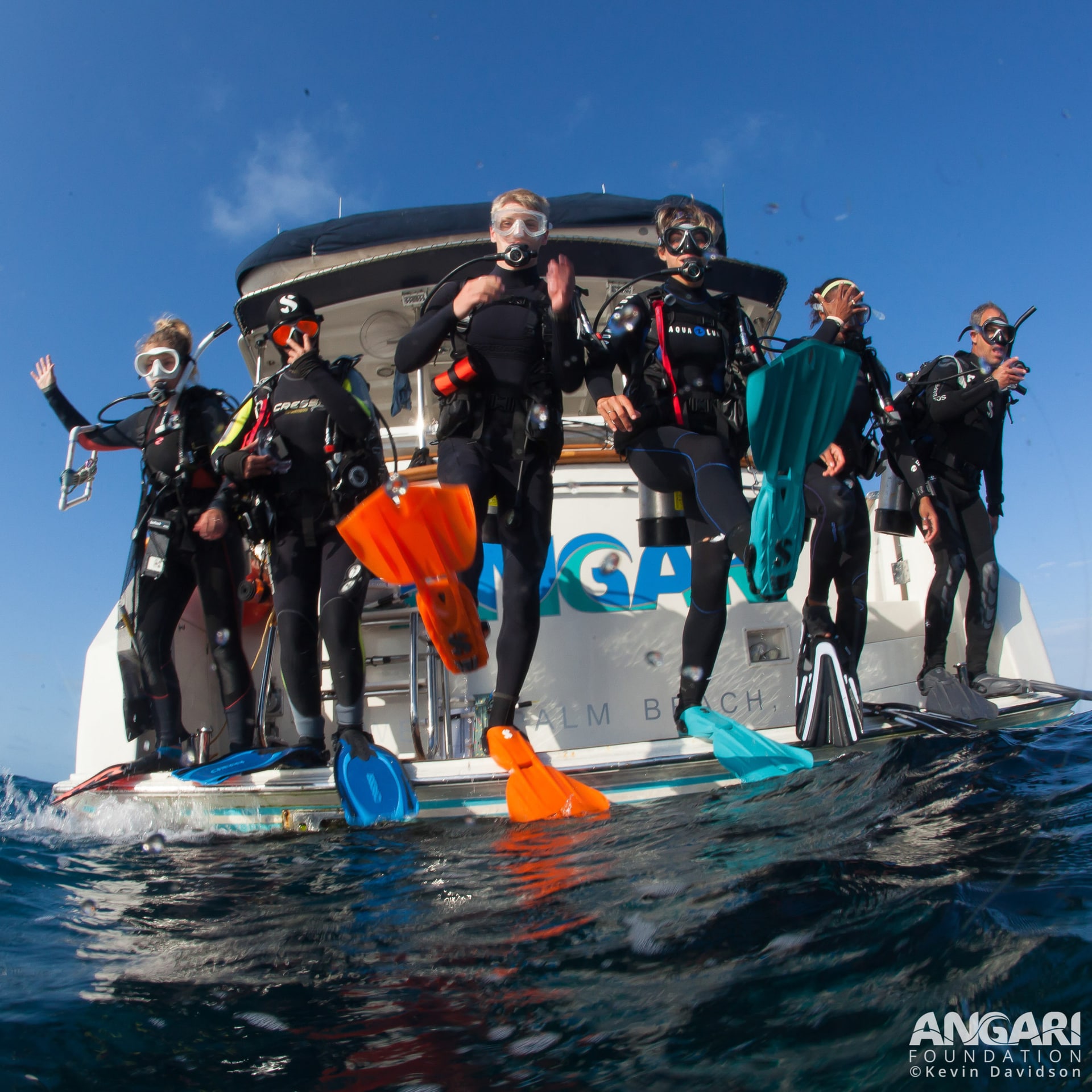
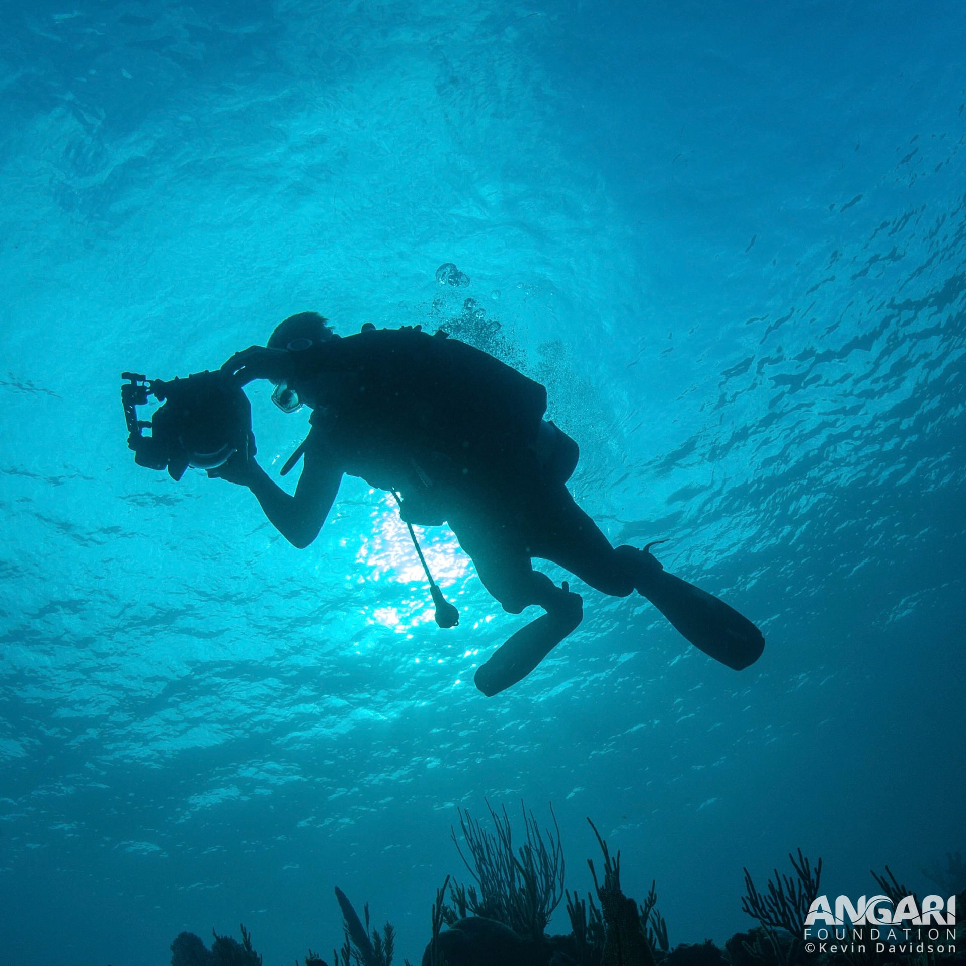
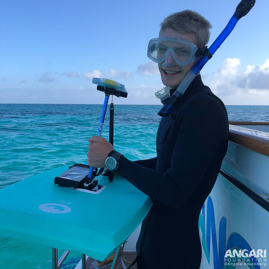
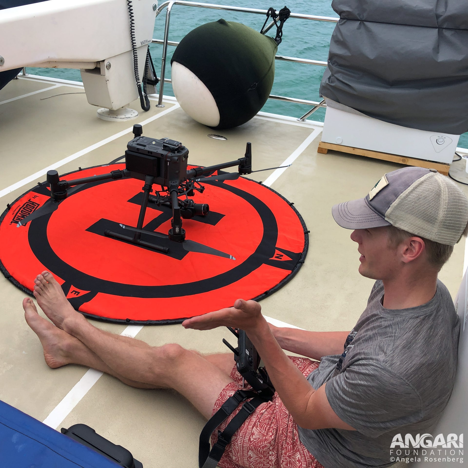
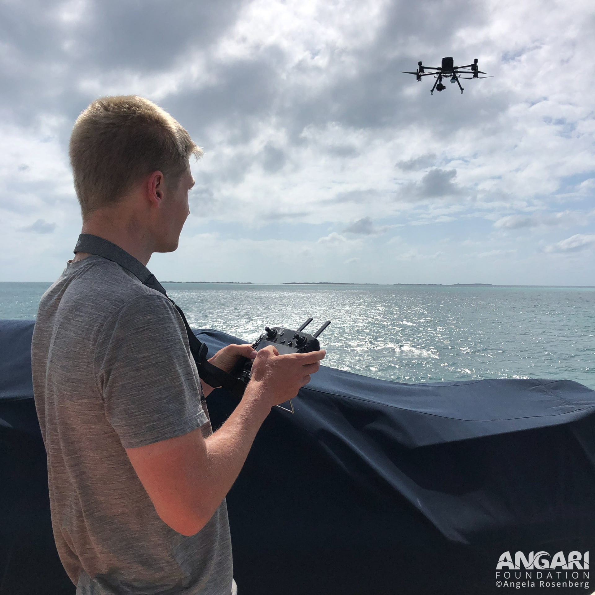
My job is essentially split into two parts. When I’m in the field (the fun part!), I typically am collecting imagery. For coral reefs, that looks like me SCUBA diving with a camera rig and swimming like a lawnmower over sections of reef, capturing images that, when stitched together, make a high-resolution map. For mangrove systems, that means flying a drone and programming it to do a similar thing – fly over an area and “mow the lawn” to capture images from above that help us to determine how healthy the mangrove systems are. For the rest of the time, I’m working remotely from Vermont, where I process the imagery I collect and use computer software to make maps from the images and then analyze them to understand various things about reef and mangrove health.
I think the biggest thing for me has been unexpectedly falling in love with the ocean and marine biology. I grew up on the coast, but the ocean back home in Maine is a lot less enticing than the water in The Bahamas, and so I didn’t spend that much time in the water or thinking about what lives in it. I actually thought I’d pursue terrestrial biology, but working on coral reefs for the past few years has gotten me really hooked on marine conservation! In a way, it feels like I’ve come home to the ocean, and I hope I can keep working to protect it as long as I can.
I always wanted to be a scientist, but I had no idea I would be interested in marine biology! I took a course in college with Dr. Craig Dahlgren (PIMS’s executive director) that introduced me to The Bahamas and coral reefs, and one of the things that I discussed with Dr. Dahlgren was mapping coral reefs. With my background in photography, GIS/mapping, and conservation biology, it just all clicked, and what started as an independent study and volunteer work has now turned into a full-time job!
It’s difficult to pick one sea creature, but I think while I’m working underwater my favorite thing to see are spotted eagle rays. Usually, when I’m underwater I’m hyper-focused on the corals that I’m swimming over and mapping, but every few minutes I look up from what I’m doing to see what’s going on around me. It’s always the best surprise ever to look up and see a gigantic eagle ray flying through the water gracefully by me. I’ve always been torn whether I’d rather be able to breathe underwater or fly, and eagle rays have the best of both worlds!
I think my main inspiration comes from nature itself. So much of the work I do can be really sad and depressing – it’s really hard to watch corals bleach, be infected by disease, and die off – but I’m always given hope when I see incredibly beautiful places and healthy reefs that teem with life. Those amazing places still exist and it’s up to us to make sure it stays that way.
GIS stands for Geographic Information Systems, and it’s a fancy term to describe the whole field of working with spatial data (think maps, satellite/drone imagery, locations of things, etc.) to better understand the world. Pretty much any map you’ve seen was created using GIS technology. Whether you know it or not, GIS drives all kinds of important things around you. Google Maps is a great example – it’s GIS that allows the software to help you see where you are and guide you where you want to go. With conservation, it’s vital to understand where things are if you want to protect them. We use GIS to figure out things like where reefs are healthy or threatened, where mangroves need to be restored, or which areas should be prioritized for protection. Mapping is especially critical for trying to scale up conservation efforts to save whole ecosystems, like coral reefs, before they’re gone.
I think it’s really important to find something you love and care about, and then find out ways to get involved in it. For me, that meant finding a volunteer opportunity and then really sticking with it. If you’re considering marine conservation, find internships or volunteer positions to get some experience and to dip your toes in, see if it inspires you, and then follow your passion if it does!
Without a doubt! In some ways it feels like I accidentally ended up on this precise science path, but I wouldn’t change it for the world. I get to work with amazing people, doing work that feels relevant and important, and in incredibly beautiful and inspiring places. I just hope that through my work, I’m able to make a difference in the protection of these amazing places and ecosystems that I care so deeply about.
Interview conducted in May 2022