
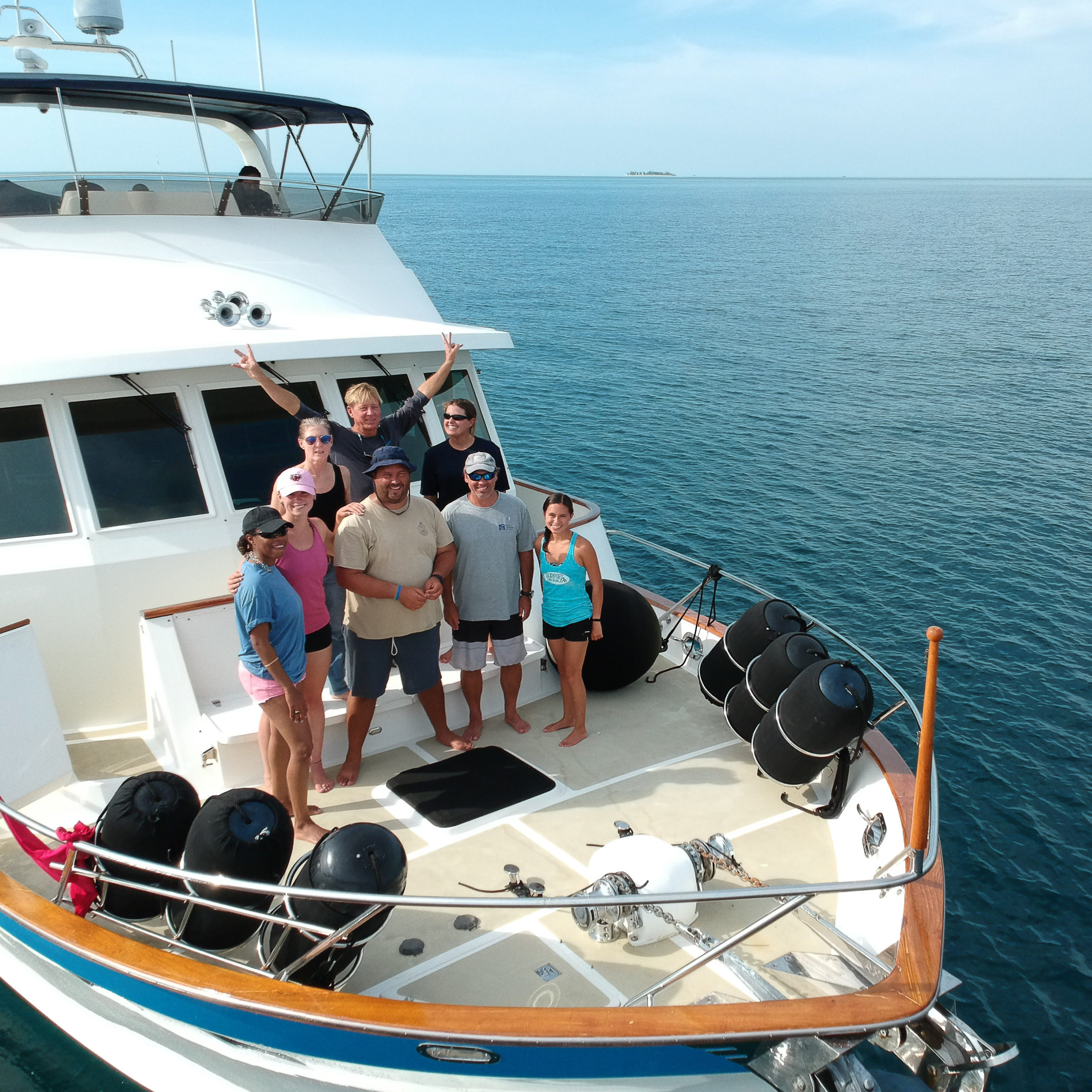
Meet Lindy Knowles
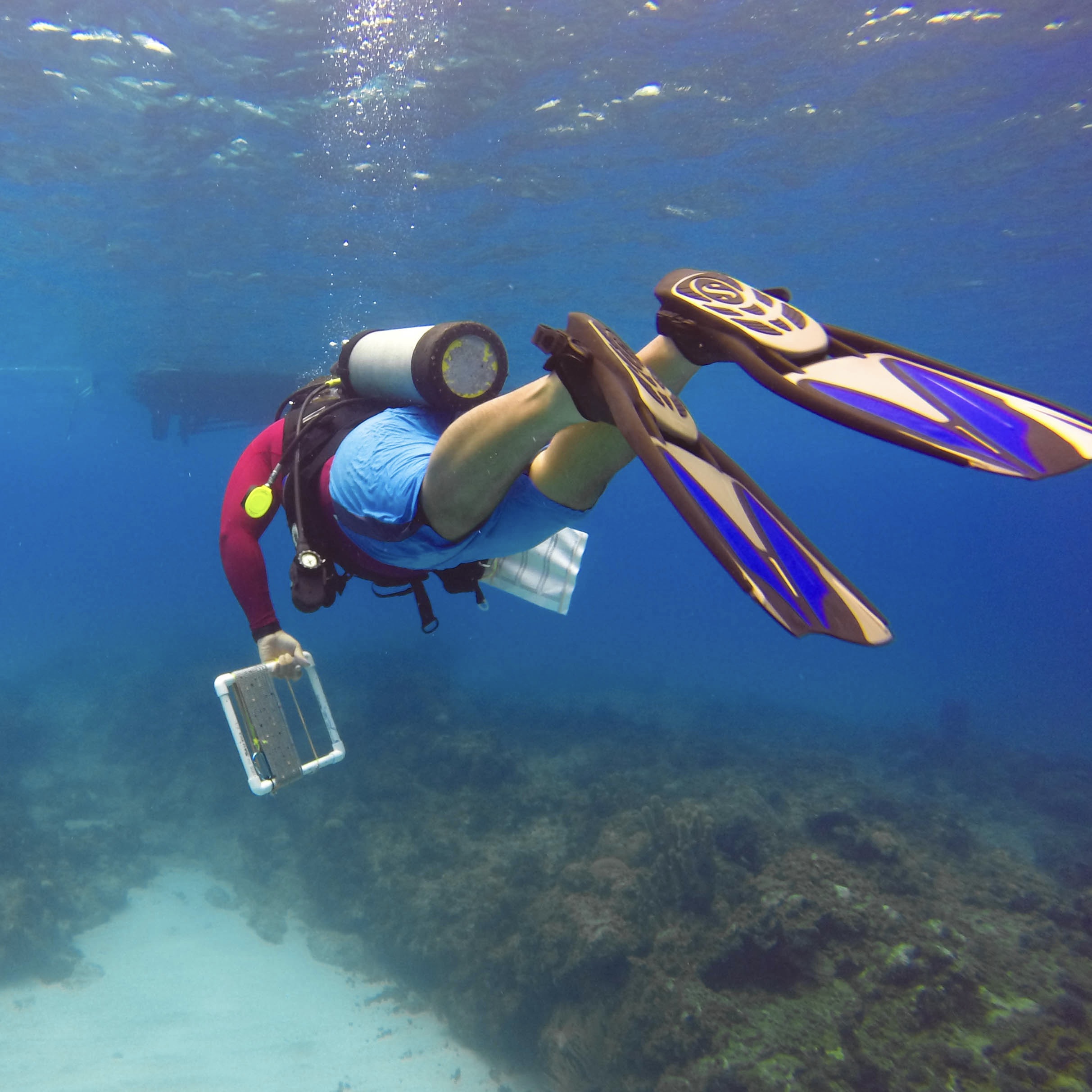
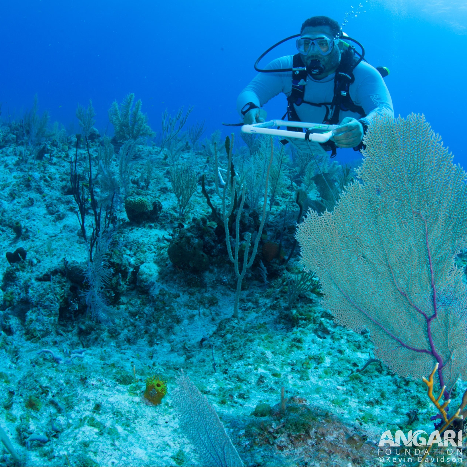
I am a conservation ecologist who works as a technical officer at the Bahamas National Trust’s Science & Policy division collecting in situ data to help ensure that the protected areas are managed through science-driven conservation. I work towards the expansion and effective management of the protected areas system of The Bahamas, collaborating with, and leading teams that survey reef, mangrove and seagrass to determine health, and using conservation technology such as GIS to map boundaries and visualize field data to support the work being done in communities to ensure that vulnerable areas and species are considered within a protected area system. As head of the GIS Unit, I am responsible for implementing innovative technology into the organization to help increase management effectiveness. I have collected imagery using drones and underwater cameras that are processed to create models of terrestrial and marine environments which have been used in the creation of habitat classes via remote sensing, as well as 3D models showing elevation on land and depths of the sea below. This work has led to the expansion of the marine protected area (MPA) system as part of The Bahamas’ goal of protecting 20% of its nearshore environment. I earned a Master of Philosophy in Conservation Leadership from the University of Cambridge and a Master of Science degree in Natural Resource and Environmental Management in a Coastal and Marine Environment from the University of the West Indies at Cave Hill.
2020 M. Phil. Conservation Leadership, University of Cambridge
2015 M.Sc. Natural Resource and Environmental Management in a Coastal and Marine Environment, University of the West Indies at Cave Hill
Get To Know Lindy
I am a born and raised Bahamian, split between the capital city of Nassau and spending many summers on Long Island, an island in our chain of islands.
My extended family is heavily involved in fishing, farming and construction, and I spent many summers in a community called Mangrove Bush, less than 100m from the mangrove creek. As I grew up, I learnt a few things about myself.
1. I have a black thumb, so farming was out.
2. I spent some time in the summers working construction but cannot really say I enjoyed it.
3. I am a terrible fisher, but I did enjoy being in the water.
It is hard to be from The Bahamas, spend many hours on the sea and not appreciate it. So, once I learnt people had careers that allow them to count fish, I was in. And I have been counting fish ever since.
I like sea turtles, but a spotted eagle ray is a favorite of mine. I have spent many dives diligently surveying the seabed, to see a spotted eagle ray swim by and sneak off to get a few pics before returning to my survey. There are few things that make you feel like chilling for a moment like a spotted eagle ray swimming by, as if to remind you it is time to take a moment for yourself.
I initially started off doing an associate degree in biology with a minor in chemistry. Then I had some doubts about my career, and initially applied to do a bachelor’s in civil engineering, before deciding to stay in the sciences. I then journeyed from a biotechnologist/chemist to a botanist/zoologist, to finally finding environmental sciences in my undergraduate. I had the misfortune of graduating in the height of the late 2000s, during the Great Recession, so jobs were really limited. I took another detour, working a short stint in a commercial bank. The time in the commercial bank was quite beneficial to my career, as when I worked there, I had plenty time in the evenings to volunteer at the Bahamas National Trust, where I was able to find a spot and begin my career in conservation.
There is no typical day. It really depends on if I am in the field or if I am in the office.
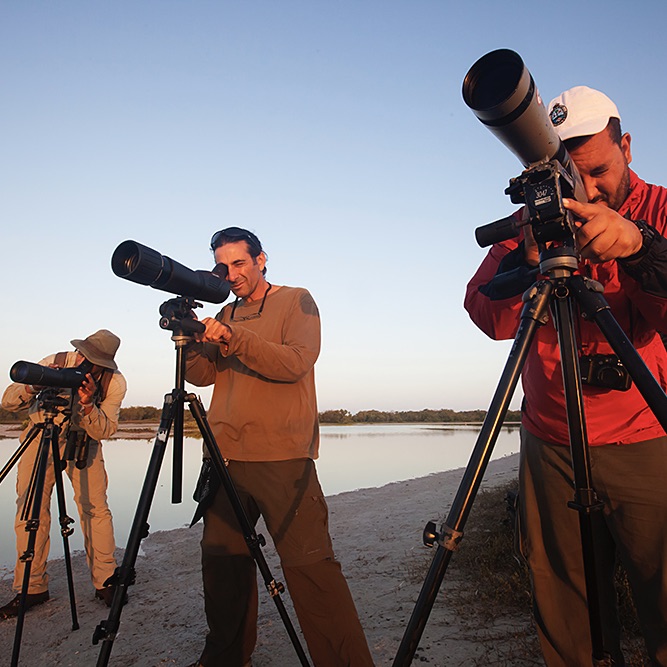
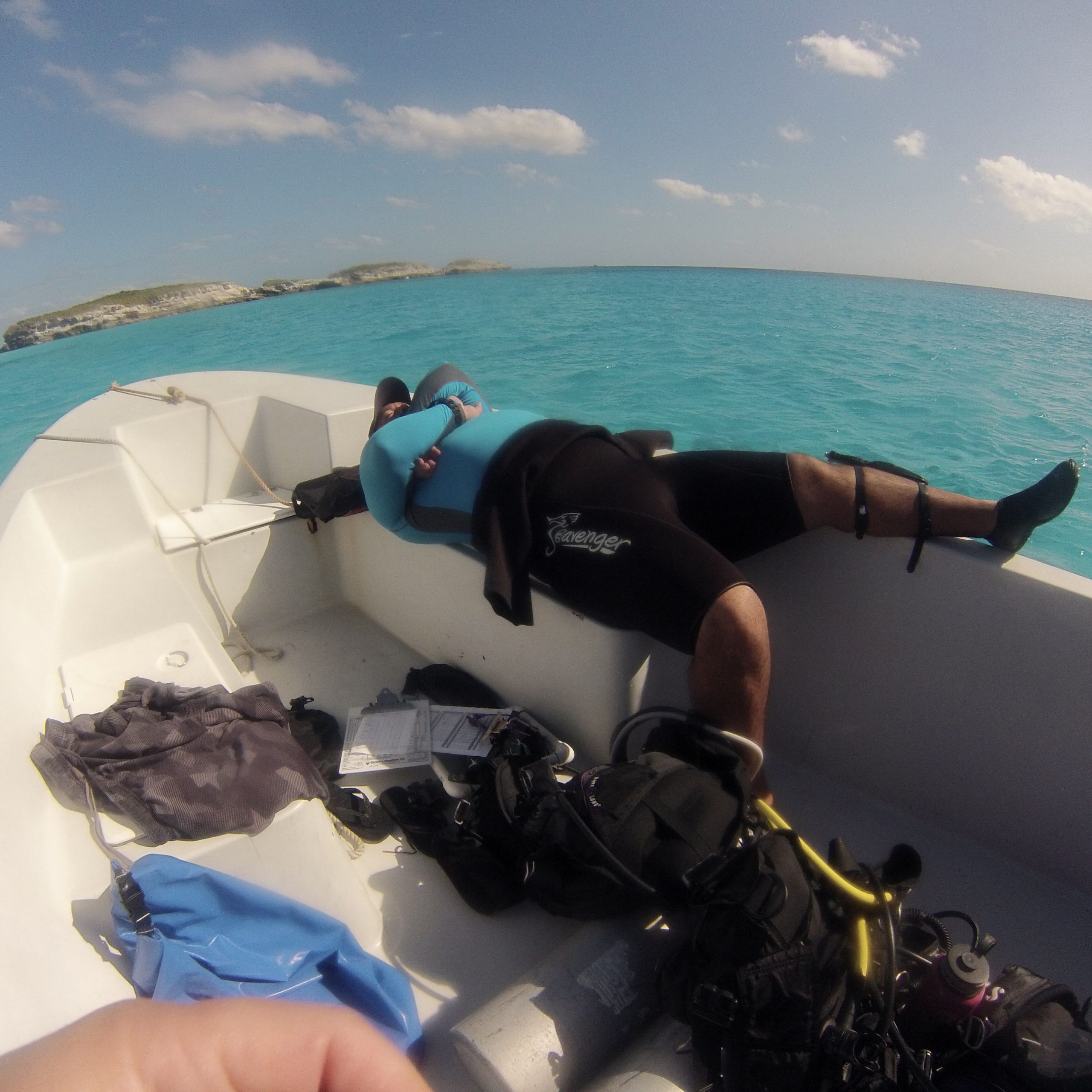
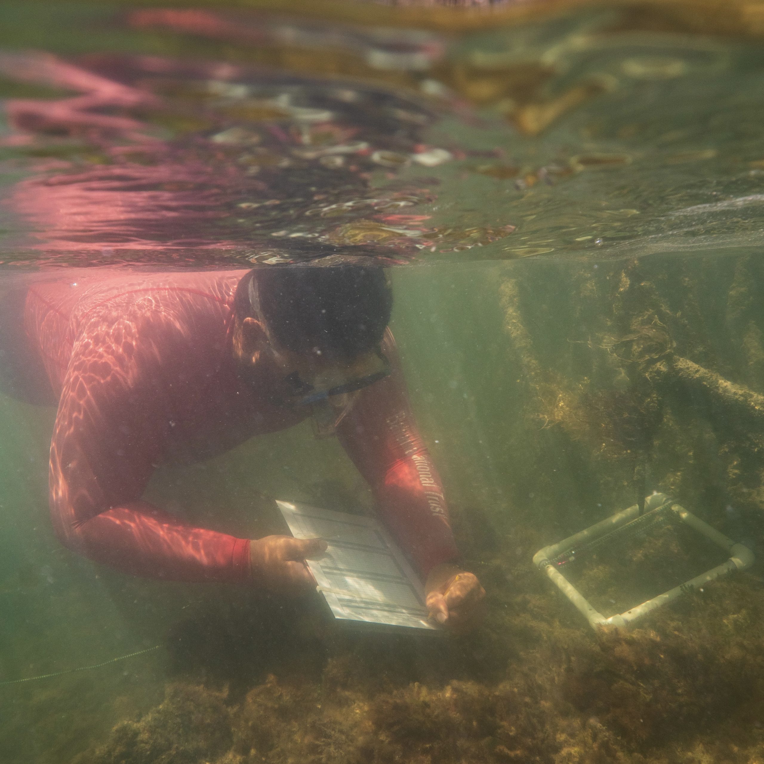
A typical field day has me waking up early to make sure all my gear is put together, to figure out the plan for the day, either by asking the team lead, or if I happen to be team lead, to tell the remainder of the team the day’s objectives. This is followed up by double checking all gear again, heading out to the field site, triple checking (because you have certainly forgotten something) and then collecting data. And you visit all the sites on the day’s agenda before wrapping up. But then the fun begins. Data entry time! You want to make sure all your data is done that day, because like pulling duct tape off your skin, the quicker you do it, the less it hurts.
If I am in office, there are a lot of meetings and report reading, writing, and reviewing. I will then check emails to see if there have been any requests for my attention, see if there are any activities, I need to be aware of, and pre-Covid, see if there are any physical meetings to attend. The fieldwork may be more fun, but both are equally important.
This is an easy and yet a hard question.
Creating an MPA is as simple as drawing boundaries on a map, and the government officially declaring it an MPA. Now the proper approach for creating an MPA that not only checks a box but supports the environment and the communities surrounding it is a bit harder. First you need to understand what is happening in an area. ‘What are the available resources in this particular area?’ ‘What makes it special?’ ‘How is the area being used?’ ‘Who is using the area?’ ‘What are the threats to the continued use of the area?’ ‘Is the current usage sustainable?’ ‘Has the area become degraded?’ ‘If degraded, can the area be restored?’ ‘Can the current usage continue without intervention?’ ‘Who owns/manages this land?’ ‘Is it private?’ ‘Is it public lands?’ ‘How has it historically been used?’
And once you start to get an understanding of these criteria, you begin the process of planning. You want to place an MPA into an environment where it not only benefits nature alone, but also those who depend on that nature, while respecting the current/historic uses.
Now you have a good understanding of the area, so you can approach the community to see how they feel about the area. And this is where you have longer term discussions about protected areas, because you do not want to take advantage of the lack of knowledge within any community. You really want to have partners on the ground where they can truly have a voice versus them only having token participation. You want equal partners on the ground. So, you must ensure they understand what it is you are asking of them, and you want to listen to their concerns/voices. You want to do longer term education/outreach/communications and not just pop up and be like ‘Hi I want to talk to you about national parks, and how we can put one in your backyard.’
But let us say you have done all your proper prep work and have a good rapport with the locals on the ground, you then want to begin discussing with the community if/where a protected area can be placed and talk about management regimes. I really want to stress that this should be the tail end of many discussions.
And if the community supports the initiative, there really needs to be routine and consistent conversations and engagement.
We currently use a combination of tools to assess management effectiveness. We use our management plans to identify our goals over a set timeframe (either 5 years, 10 years, or longer), and then use annual workplans to ensure we follow the established objectives. Then we combine this with a management effectiveness tool, like the RAPPAM (Rapid Assessment and Prioritization of Protected Area Management Tool) or the METT (Management Effectiveness Tracking Tool) that is an established protocol used internationally to compare the current status of the MPA, comparing a number of metrics (biodiversity, infrastructure, ecosystem/species health) at a particular time to their baseline studies. A lot of these metrics will be laid out within the site management plan.
GIS, or the Geospatial Information System, is the system of collecting data or imagery of the natural world and through processing on a computer helps you to analyze and visualize that data into something that is useful for planning. At least that’s the way I use it. I tend to work with very basic geospatial datasets. I often go to the field and collect aerial imagery, either via a drone, or through available satellite imagery, and process it to determine the various habitats that exist in my area of interest, how much area the habitat covers, to support the data documenting the quality of the habitat. I tend to do a lot of ground truthing of data, which is basically verifying the habitat classifications. I’ll take a set of processed data, which for example would say that there are trees in an area, and I’ll go through the area, to confirm that it is indeed trees. I also do a lot of mapping exercises, where I show either the proposed or existing boundaries of an area of interest, show where infrastructure may exist on a site, where the various habitats may exist in a site, and finally, where various areas of interest may exist within the country. As I work at the Bahamas National Trust, I often create maps that show the location of our national park system on each island in relation to other important features.
Conservation can be discouraging sometimes. Every so often, I take breaks to go to school to further educate myself. This allows me to not only build capacity, whilst also allowing me to see the forest for the trees and gives me some perspective on what we are trying to accomplish. Surrounding myself with young, energetic classmates who are not in the trenches with me lets me recharge my batteries and borrow ideas that can be used for when I return home. The time away also allows you to see actual changes, like in my mangrove restoration sites in a protected area. When I leave for a year and return, you can see some active growth.
I like the people that I work with. I have worked alongside some of the smartest people I have ever met, who are passionate about the environment, and whose new skills will make the job that much easier.
The worst part is really that, whilst we are making progress to increasing those cognizant of the importance of the environment, it still feels like minor changes. We still have a LOOOONG way to go. And those in power globally seem to still only offer token mention of the environment and makes decisions that don’t reflect the pledges that they’ve made. I sometimes feel that in the environment field, where so many people would be considered environmentalists, and with such a cult of personalities for the loudest voices, we sometimes get lost in who should be followed. I once remember seeing someone saying they cannot see the environment for the trees. (They were upset that a dune vegetation had been planted, that limited their view of the sandy beach).
Find a good team/mentor. I have been lucky in my career to work with a group of researchers who shared burdens and successes, sharing their knowledge, and being a sounding board for your ideas.
Find a hobby that is not about saving the world/find something fun that can be done that allows you to destress, or as my friend calls it ‘the vice.’ It often feels like we are fighting a losing battle, and it can be very disheartening (though there has been successes). A lot of people volunteer in the environment as part of their hobbies, which is helpful, but it feels like we do not have an equivalent. But make sure it is not a hobby that is counterintuitive to the cause, like indiscriminately setting fire to the forests and pouring chemicals into the sea 🙂
Interview conducted in January 2023