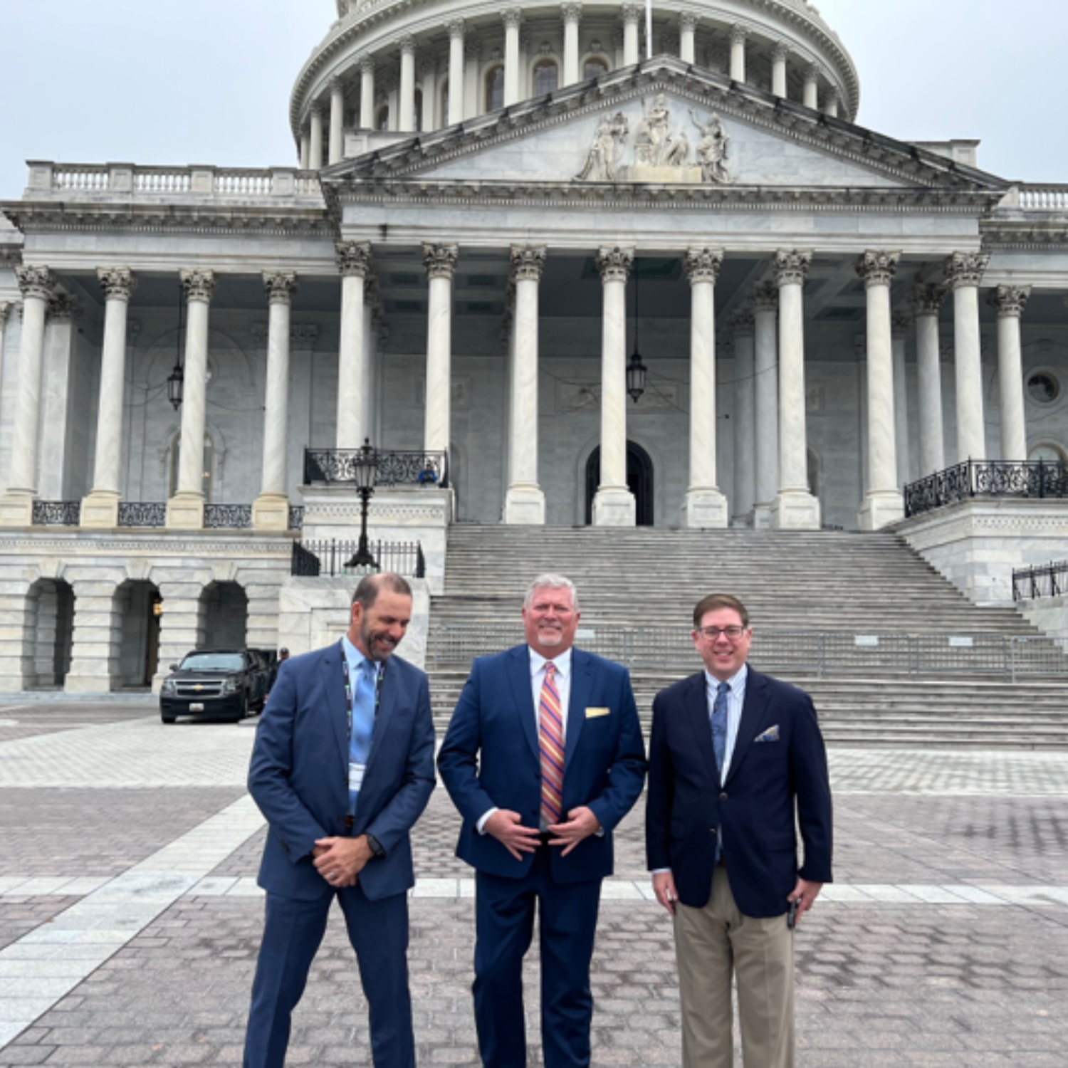
Meet Rick Householder
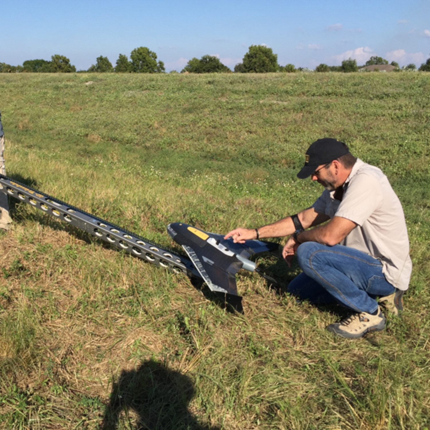
I am a Geospatial Program Director with Woolpert Inc. specializing in LiDAR (light detection and ranging) and imagery and the director of the Woolpert’s Award for the Florida Seafloor Mapping Initiative (FSMI). I have over 30 years in the geospatial industry and was with the South Florida Water Management District (SFWMD) for 25 years and served as the District’s Geospatial Section Manager. I have also been an adjunct professor/associate lecturer for over 25 years at Palm Beach State College, Florida Atlantic University and currently at Nova Southeastern University teaching geospatial and environmental courses. I hold a Bachelor of Science in Environmental Geology and Masters in Geography / Geographic Information System (GIS) from Florida Atlantic University, and I am a certified drone pilot and GISP, as well as serve as a regional director for the Florida American Society for Photogrammetry and Remote Sensing (ASPRS) Chapter.
1997 M.A. Geography specializing in GIS and Remote Sensing, Florida Atlantic University
1993 B.S. Geology, Florida Atlantic University
Get To Know Rick
I am the Florida Geospatial Program Director with Woolpert Inc., specializing in LiDAR (Light Detection and Ranging) and imagery, and I serve as the director of Woolpert’s portion of the Florida Seafloor Mapping Initiative (FSMI). I have over 30 years of experience in the geospatial industry, including 25 years with the South Florida Water Management District (SFWMD), where I led the District’s Geospatial Section.
In addition, I have been an adjunct professor and associate lecturer for more than 25 years, teaching geospatial and environmental courses at Palm Beach State College, Florida Atlantic University and currently at Nova Southeastern University. I hold a Bachelor of Science in Environmental Geology and a Master’s in Geography/Geographic Information Systems (GIS) from Florida Atlantic University.
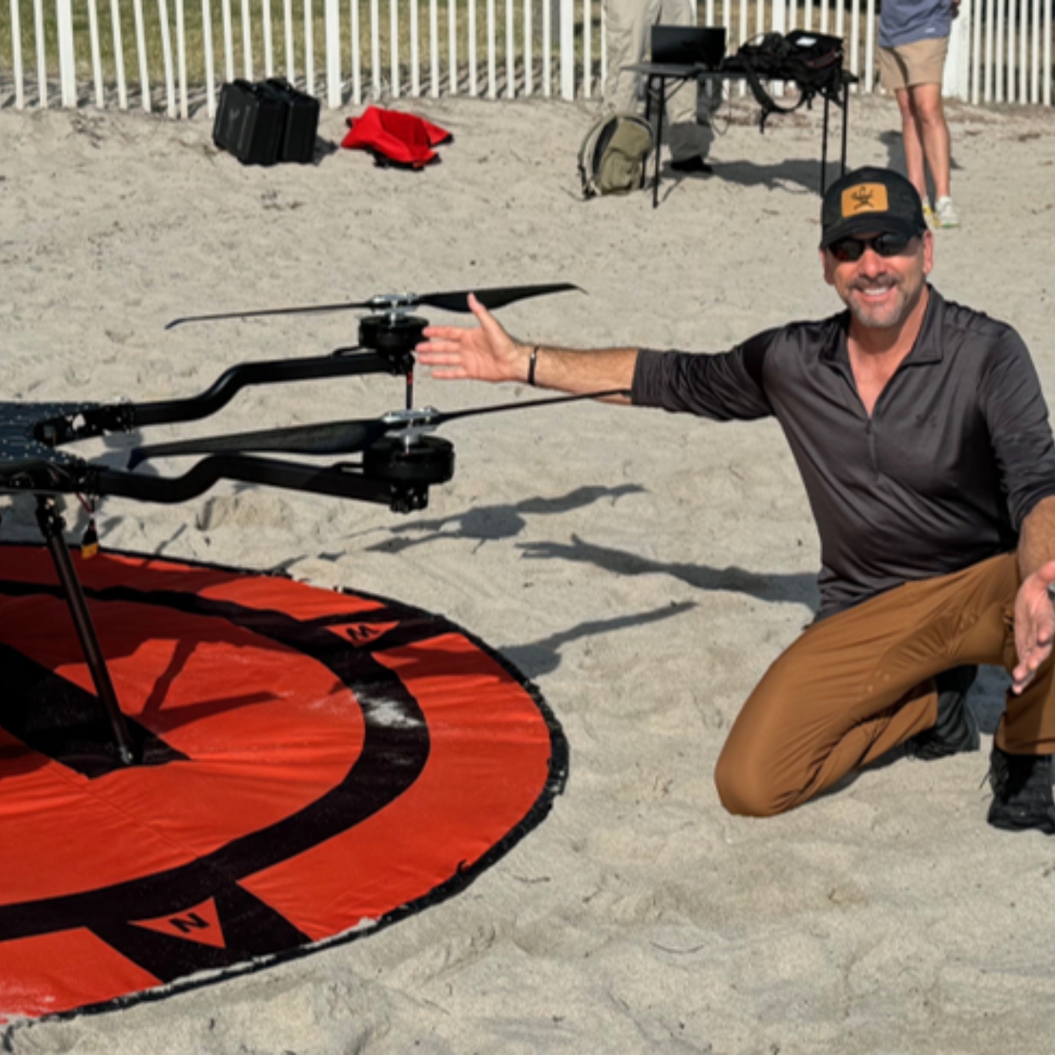
I am a certified drone pilot and a GISP, and I serve as a regional director for the Florida chapter of the American Society for Photogrammetry and Remote Sensing (ASPRS). Outside of work, I enjoy watching sports, exercising, spending time outdoors with my family biking, kayaking and SCUBA diving.
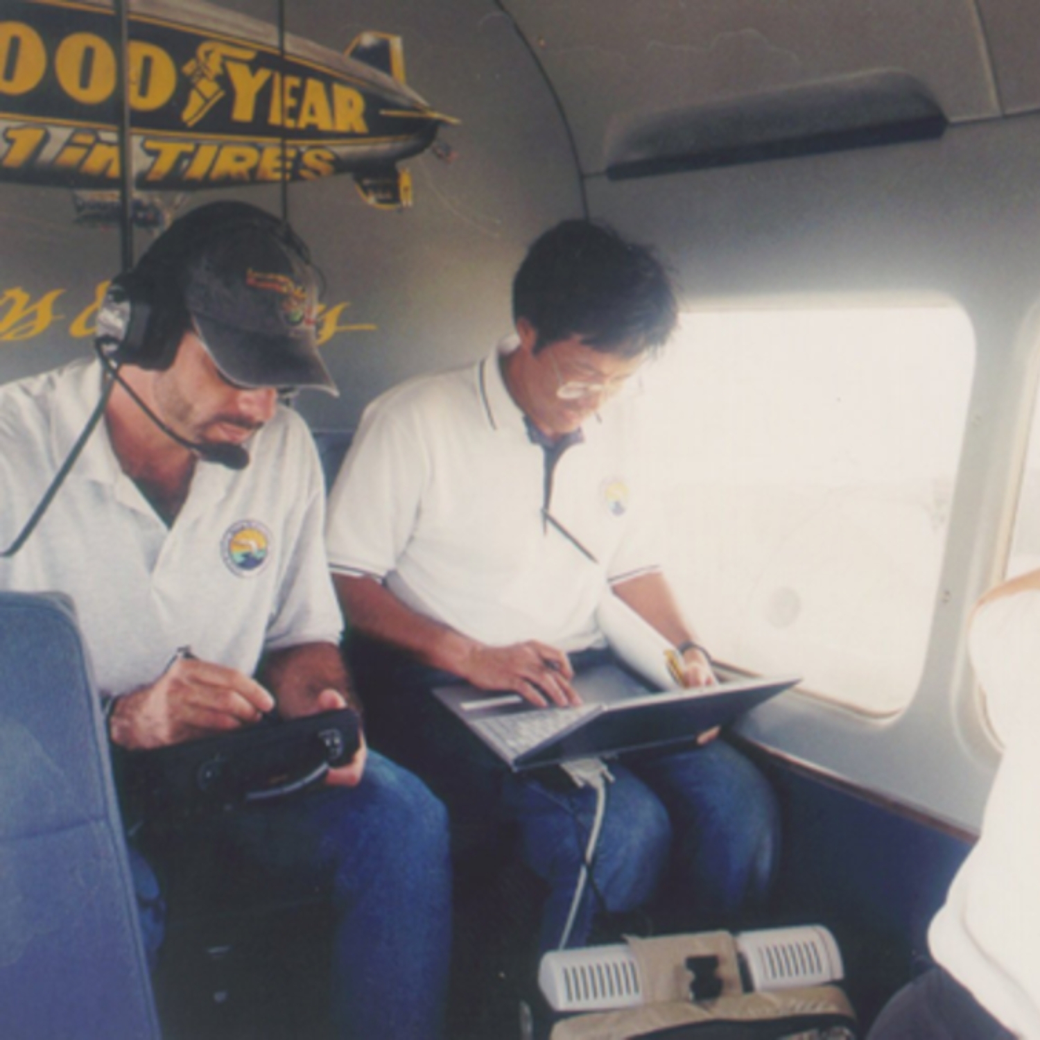
Yes, I was a crewman/technician on the Goodyear Blimp for 14 years and got very interested in aerial imagery and pattern recognition from flying so much in the Blimp. I never had a natural sense of direction so when I learned about GPS, I was fascinated. It seemed so futuristic to me. Geospatial technology helps us to understand and make sense of the world around us.
My goal each day is to offer my clients the best possible geospatial products in the industry. This includes oversight and management of existing projects and looking for opportunities for new ones.
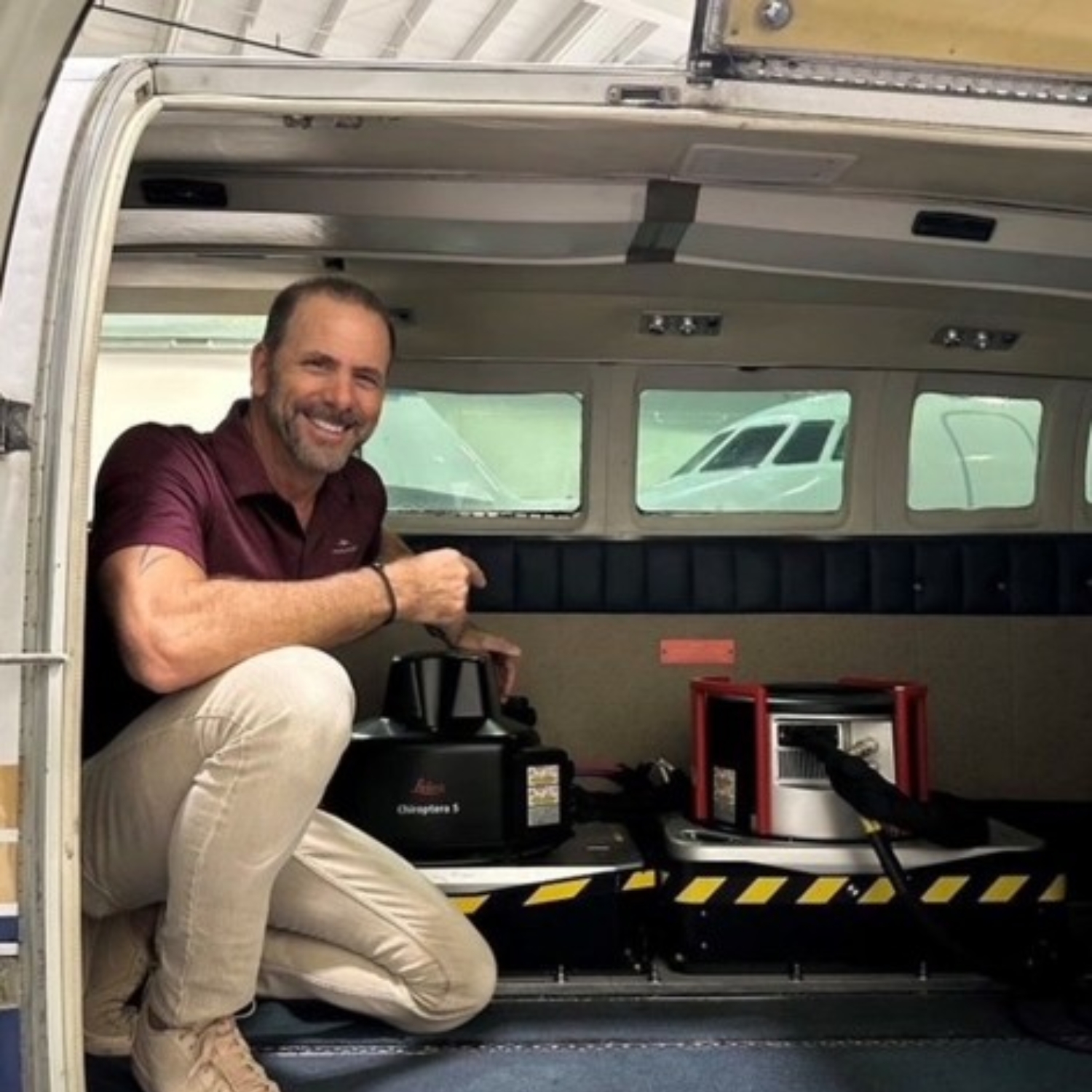
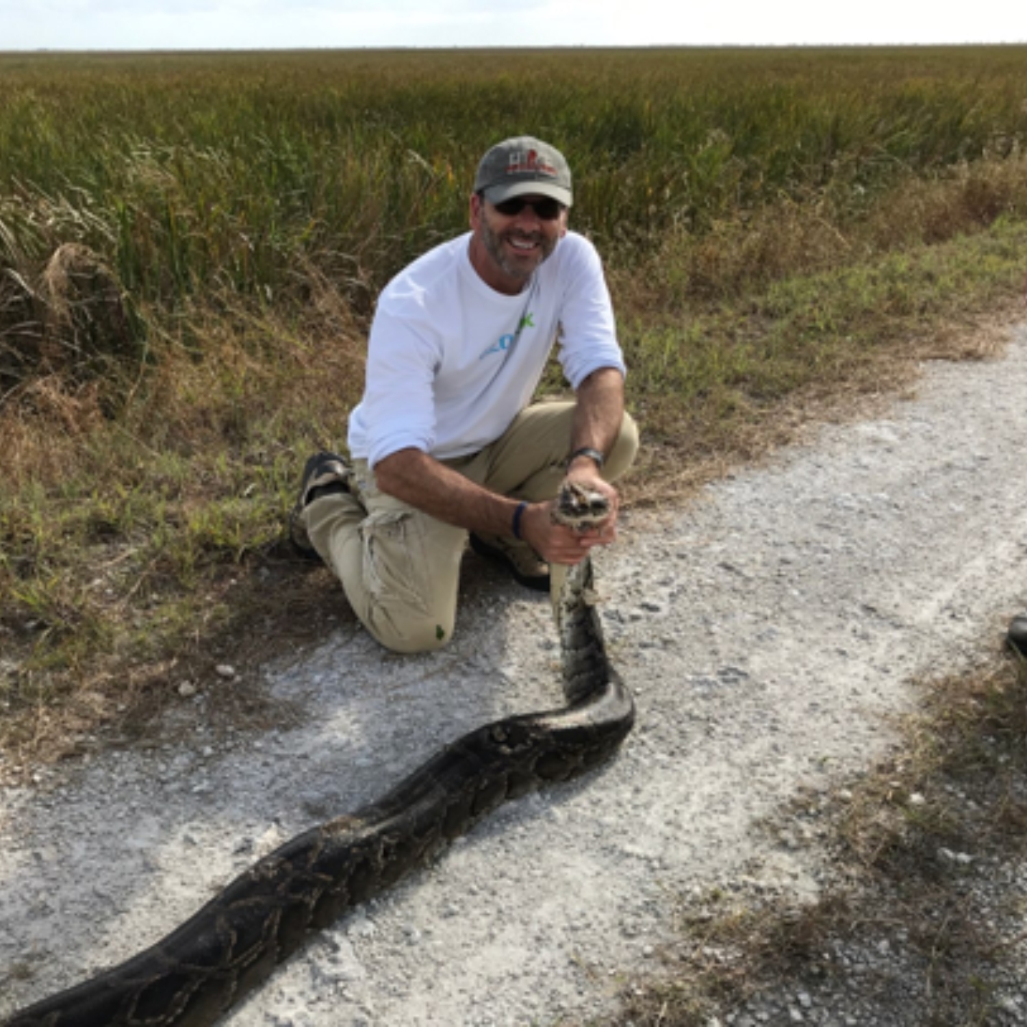
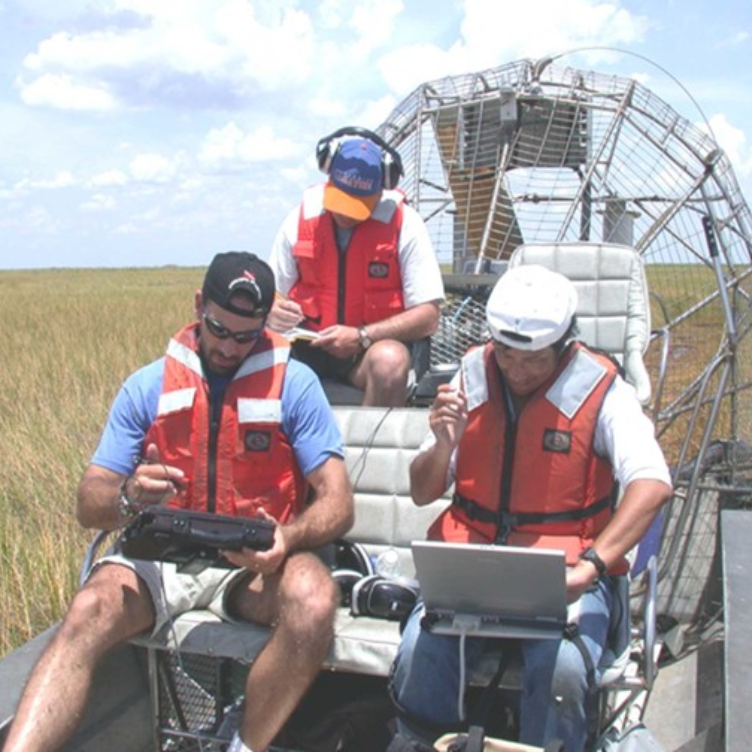
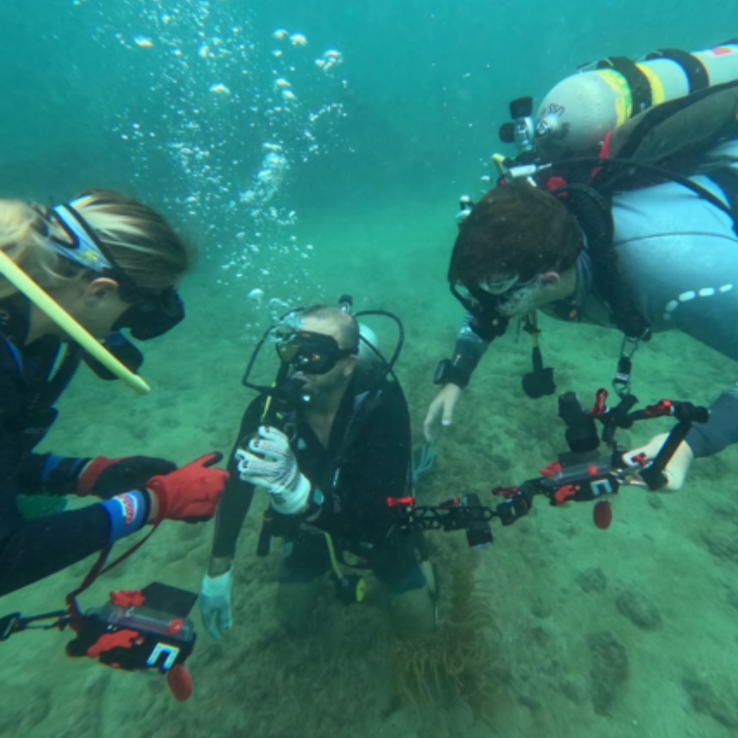
The Seafloor Mapping Initiative is an extraordinarily complex and important project—and one of the most exciting of my career. The Florida Seafloor Mapping Initiative provides the state and its stakeholders with critical information needed to make informed decisions about the marine habitat, which includes restoration, archaeology, storm damage assessment and navigation. This type of mapping is essential to preserving a healthy marine ecosystem.
It has to be the incredible resolution of the topobathymetric LiDAR data we’ve collected. This level of detail allows us to identify remarkable features—including shipwrecks, coral reefs, blue holes and a wide range of geomorphological structures—with exceptional clarity.
GIS (Geographic Information System) allows us to see the marine environment in a very different way. GIS by its nature is based on spatial information and the analysis of that data.
In 1999 I decided to challenge myself by doing something that would push me out of my comfort zone and help me grow as an individual. Twenty-six years later, I still thoroughly enjoy it, and working with enthusiastic students to help them achieve their career goals is simply the best part.
I truly love the geospatial industry and the benefits it brings to society and the planet. Geospatial technology allows us to uncover patterns on the Earth’s surface that are invisible to the naked eye, helping us better understand both human and natural processes and make more informed decisions. To me, it has always felt like science fiction brought to life.
Go for it! It’s a wonderful career path that offers exposure to a wide range of exciting and rapidly advancing technologies, interesting challenges and amazing people. The work always contributes positively to society and the environment, which makes it incredibly rewarding.
I believe I would have! I’ve always been interested in other areas of science, including palaeontology and planetary science, but geospatial technology has given me the freedom to explore multiple scientific fields without being pigeonholed into just one.
Interview conducted in November 2025