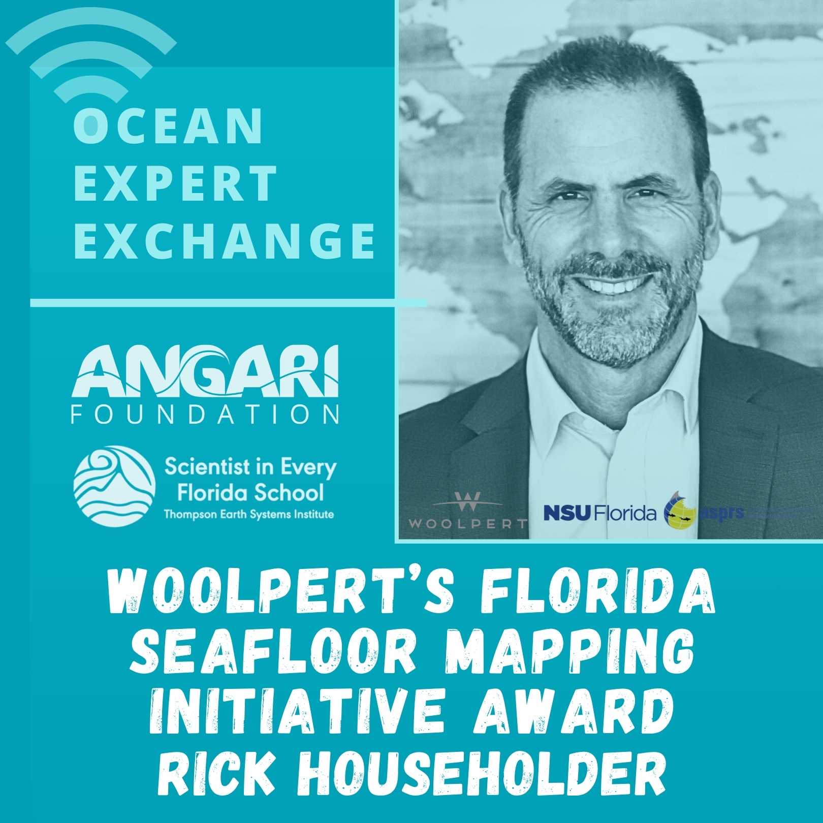
Eric “Rick” Householder
Florida Geospatial Program Director, Woolpert Inc.
Associate Lecturer, Nova Southeastern University
Rick Householder shares how his Woolpert team used topobathy lidar and sonar to map ~45,000 square kilometers of the seafloor for the State of Florida’s Florida Seafloor Mapping Initiative project.
Recorded Webinar:
Select Supplemental Content:
[READING] ANGARI Foundation – Meet the Scientist | Rick Householder
[RESOURCE LIBRARY] Woolpert ArcGIS StoryMap – Florida Seafloor Mapping Initiative | Airborne Lidar Bathymetry
[RESOURCE LIBRARY] Florida Seafloor Mapping Initiative
[VIDEO SHORT] NOAA Ocean Service – What is sonar?
[READING] NOAA Ocean Service – What is lidar?
Educators – would you like to be kept up to date on ANGARI ocean science education content & programs like this? If so, please complete our Educator Registration form!
PRESENTER BIO
Eric “Rick” Householder is a Geospatial Program director with Woolpert Inc. specializing in LiDAR (light detection and ranging) and imagery and the director of the Woolpert’s Award for the Florida Seafloor Mapping Initiative (FSMI). He has over 30 years in the geospatial industry and was with the South Florida Water Management District (SFWMD) for 25 years and served as the District’s Geospatial Section Manager. Rick has been an adjunct professor/Associate Lecturer for over 25 years at Palm Beach State College, Florida Atlantic University and currently at Nova Southeastern University teaching geospatial and environmental courses. Rick holds a Bachelor of Science in Environmental Geology and Masters in Geography / Geographic Information System (GIS) from Florida Atlantic University. He is a certified drone pilot and GISP and serves as a regional director for the Florida American Society for Photogrammetry and Remote Sensing (ASPRS) Chapter.
Ocean Expert Exchange is a live educational webinar series featuring experts in marine science and technology, many of whom have participated in expeditions onboard R/V ANGARI. The 30-minute live events welcome audiences of all ages and include a presentation on the speaker’s area of expertise followed by Q&A with participants. The series is co-hosted by ANGARI Foundation and the University of Florida Thompson Earth Systems Institute’s Scientist in Every Florida School program.